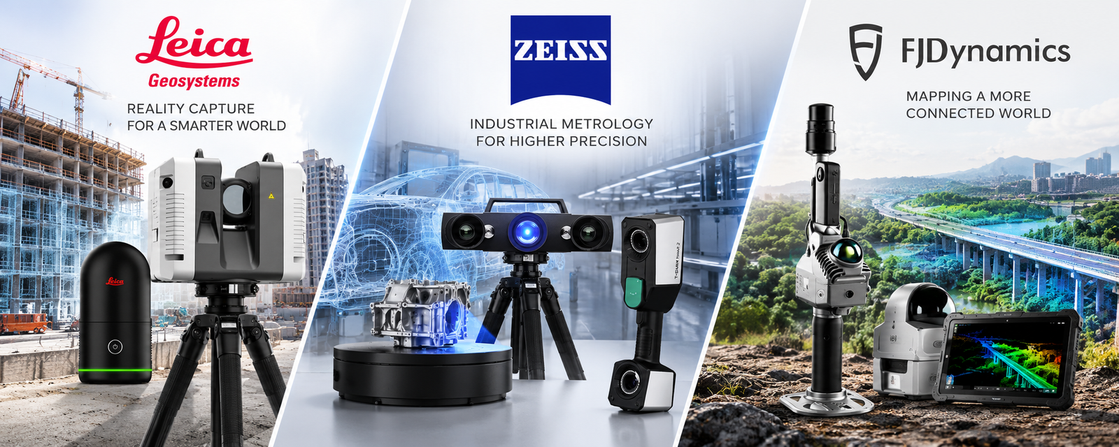
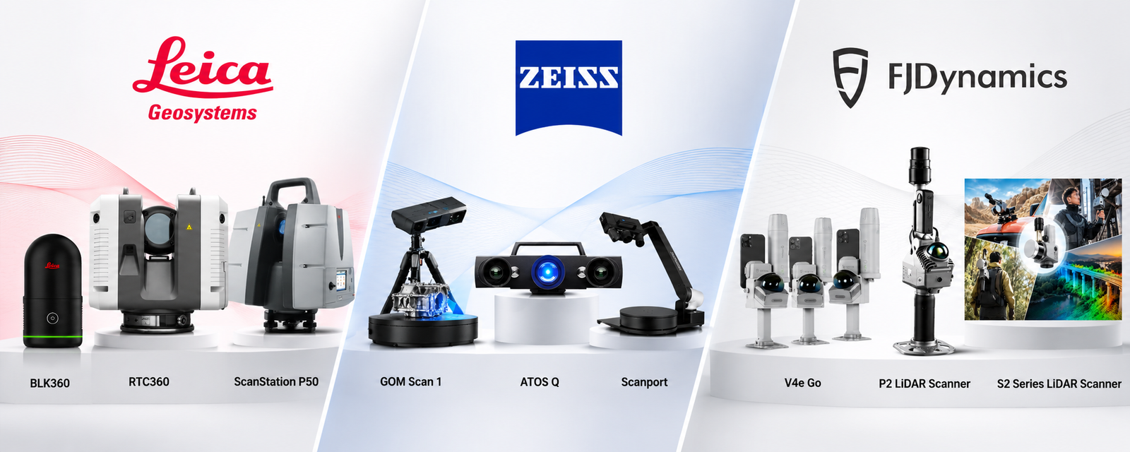
Official Technology Portfolio

Start with the outcome. We’ll match the hardware.
A scanner is only valuable when it fits the site, accuracy, deliverable and workflow. Tell us what you need to achieve.

3D Reality Capture & Digital Twins
Capture accurate 3D data of buildings, facilities and complex environments for BIM, digital twins, documentation and planning.
Reverse Engineering
Convert physical parts, tooling and assemblies into accurate, usable digital geometry.
Construction QA/QC
Document as-built conditions, validate execution and reduce costly measurement gaps.

Industrial Inspection
Metrology-grade measurement for quality control, maintenance and dimensional analysis.
Mobile & SLAM Mapping
Capture large, complex or difficult-to-access environments while moving through the site.
Surveying & Geospatial
Reliable field positioning and spatial data capture for infrastructure and survey teams.
THE HARDWARE PORTFOLIO
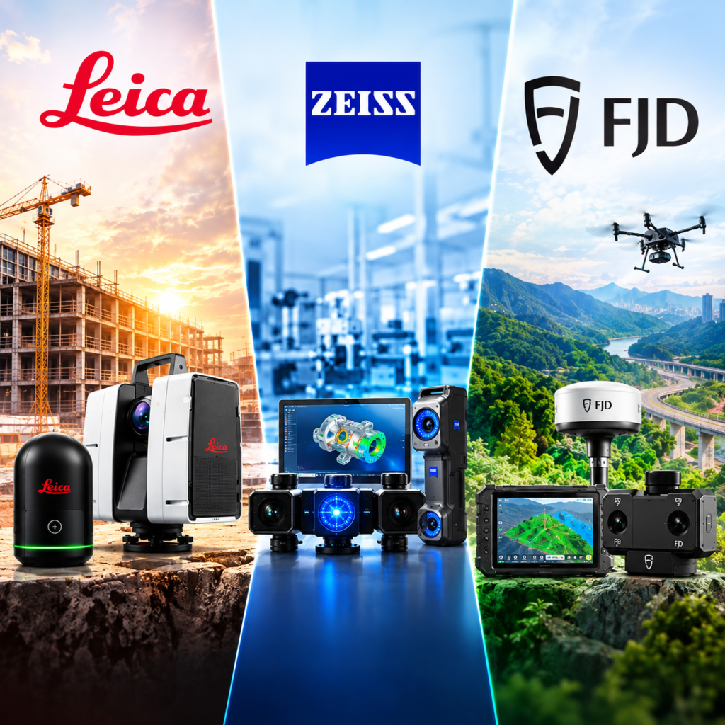
Three specialist portfolios.
One practical recommendation.
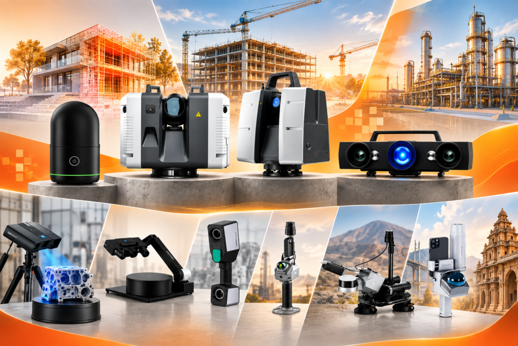
Compare products by how they work in the field—not by a long list of specifications alone.
Capture spaces accurately.
Move from field to office faster.
Terrestrial and imaging laser scanners for buildings, industrial plants, infrastructure, public safety and demanding survey workflows.
01 / REALITY CAPTURE
COMPACT & SIMPLE
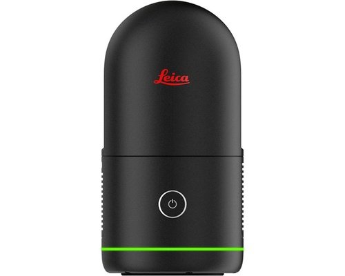
BLK360
Compact imaging laser scanning for teams that need rapid, accessible reality capture.
- Interiors, architecture & property
- Fast full-dome capture
- Portable, one-button workflow
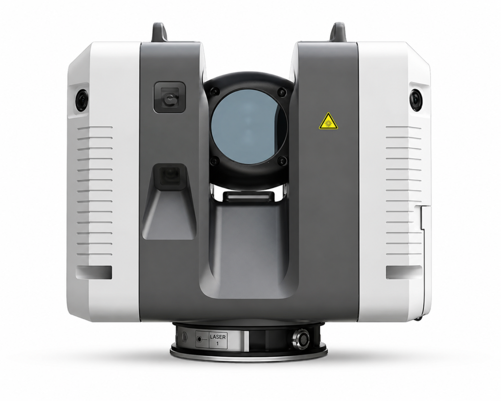
RTC360
High-speed, high-accuracy terrestrial scanning with a streamlined field-to-office workflow.
- Large buildings & industrial sites
- Scan-to-BIM & as-built documentation
- Fast multi-position capture
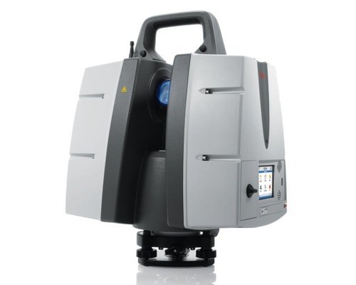
ScanStation P50
Long-range 3D laser scanner delivering high-speed, survey-grade reality capture for large and inaccessible environments.
- Up to 1 km+ scanning range
- 1 million points/sec capture
- Survey-grade precision & HDR imaging
Measure parts precisely.
Turn scan data into decisions.
Portable and optical 3D metrology solutions for inspection, reverse engineering, tooling, maintenance and product development.
02 / INDUSTRIAL METROLOGY

COMPACT OPTICAL 3D
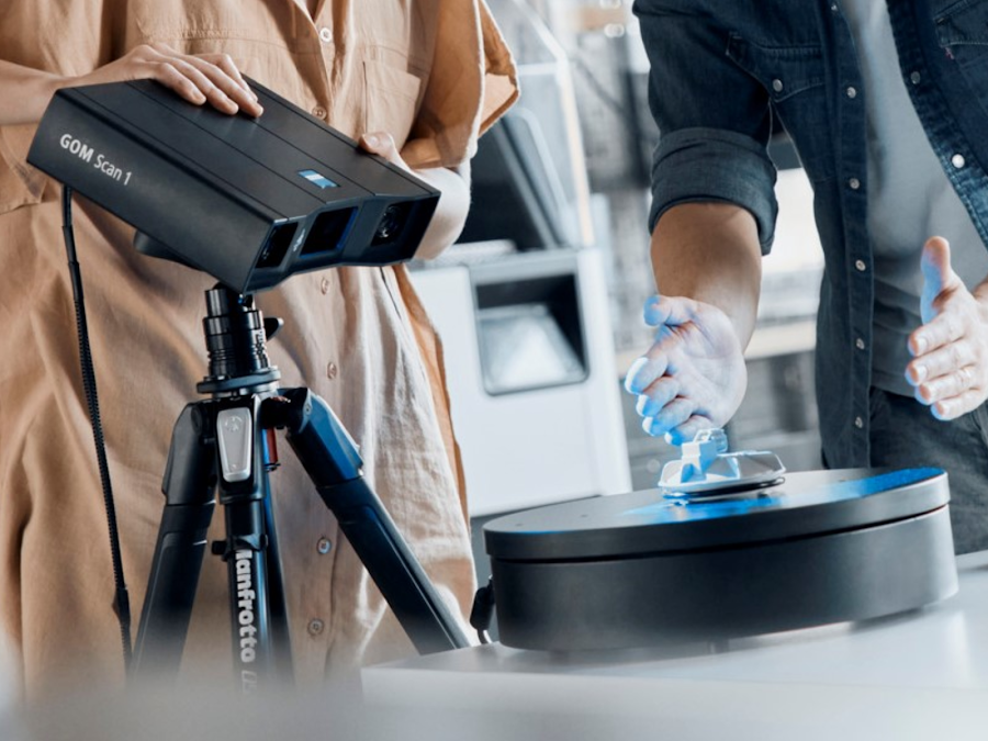
GOM Scan 1
Compact structured-light scanning for precise meshes of small and medium-sized objects.
- 3D printing & reverse engineering
- Part inspection
- Multiple measuring volumes
INDUSTRIAL PERFORMANCE
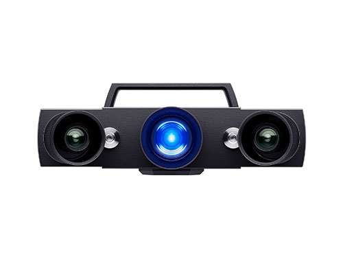
ATOS Q
Flexible industrial optical 3D scanning for complex manual and semi-automated inspection.
- Production quality assurance
- Tooling, cast & plastic parts
- High-detail optical measurement
ScanPort
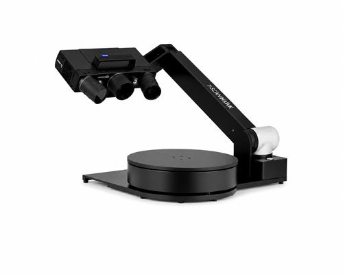
Scanport
Portable and precise 3D scanning for fast, accurate, and efficient reality capture.
- High-accuracy 3D capture
- Fast & automated scanning
- Detailed inspection results
HANDHELD METROLOGY
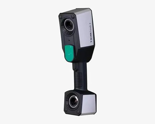
T-Scan Hawk 2
Portable, high-precision 3D laser scanning for fast, accurate, and flexible inspection and measurement.
- Reverse engineering & MRO
- Quality control on site or shop floor
- Dark, shiny & complex surfaces
Capture while moving.
Map more ground in less time.
Mobile LiDAR, outdoor SLAM and GNSS hardware for fast spatial data collection across construction, mapping, forestry, public safety and surveying.
03 / MOBILE MAPPING & SURVEY

PORTABLE SLAM
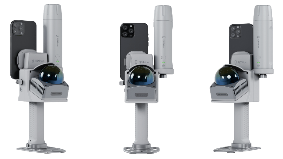
V4e Go
ompact handheld 3D LiDAR scanner for fast, accurate indoor and outdoor reality capture, with smartphone-based scanning and optional GNSS positioning.
- 154,600 points/sec LiDAR capture
- Up to 50 m scanning range
- Indoor & outdoor scanning
OUTDOOR SLAM
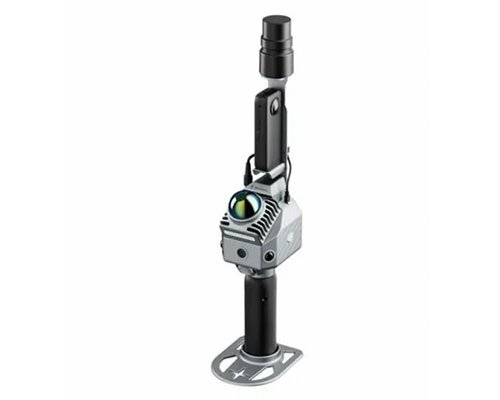
P2 LiDAR Scanner
A high-performance mobile LiDAR scanner designed for fast, efficient 3D reality capture. The FJD Trion P2 delivers detailed point clouds for surveying, mapping, construction, and infrastructure applications.
- Capture dense, detailed point clouds quickly.
- Ideal for large-scale outdoor surveying and mapping.
- Reliable data for construction, topographic surveys, and 3D modeling.
LiDAR Kit
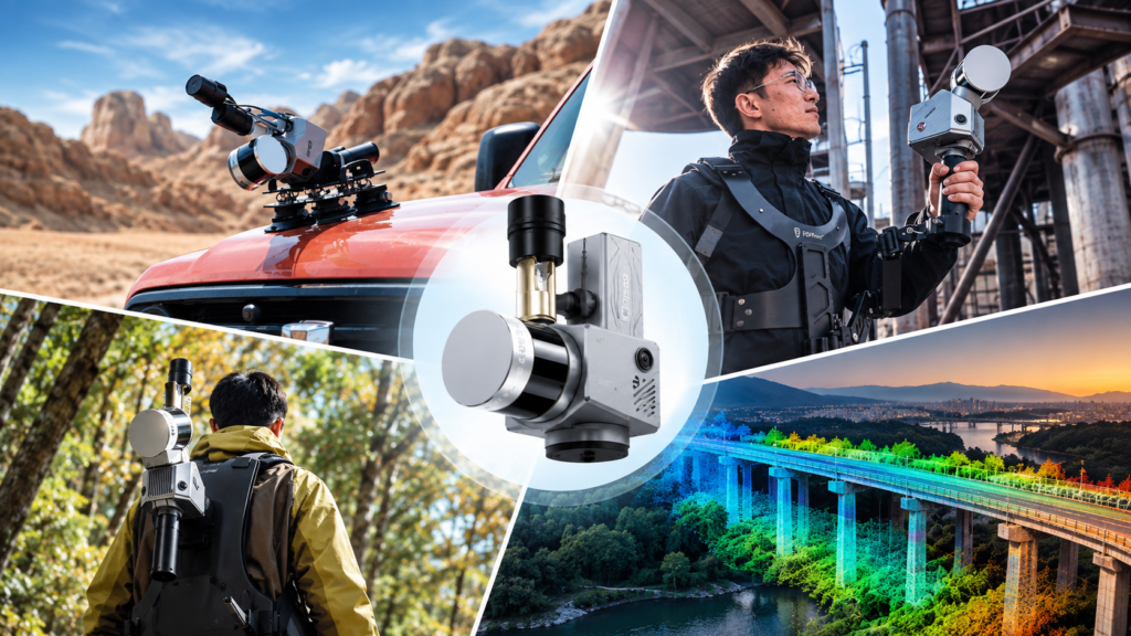
S2 Series LiDAR Scanner
A versatile professional LiDAR scanning solution designed for fast and accurate 3D reality capture across challenging environments. The S2 Series supports multiple deployment options, making it ideal for surveying, mapping, infrastructure inspection, and large-scale projects.
- High-precision 3D scanning
- Flexible multi-platform deployment
- Ideal for large-scale outdoor mapping
Why Choose AVRDUS for 3D Scanning Solutions?
At AVRDUS , we go beyond product supply — we help you choose the right 3D scanning solution for your project, with expert guidance, genuine Leica Geosystems products, and reliable after-sales support.
- Authorized Leica Geosystems Solutions Provider
- Expert Product Selection & Consultation
- Solutions Matched to Your Project Needs
- Professional Product Demonstration
- Training & Technical Support
- Reliable After-Sales Service
Why Invest in Leica 3D Laser Scanning Solutions?
- Reduce costly site rework and manual errors
- Improve project accuracy and documentation
- Accelerate engineering and design workflows
- Minimize operational downtime
- Enable Digital Twin and Smart Infrastructure development
WHY AVRDUS
Hardware is the beginning.
A working solution is the goal.
Not sure which
scanner fits? .
Share the application, site or part size, required accuracy, expected deliverable and location. We’ll recommend the right hardware and next step.
- +91 979 979 3900
- info@avrdus.com
Copyright © 2026 AVRDUS Technologies. All Rights Reserved